
Preserving and enhancing water quality in the Lower DuPage River and its tributaries.
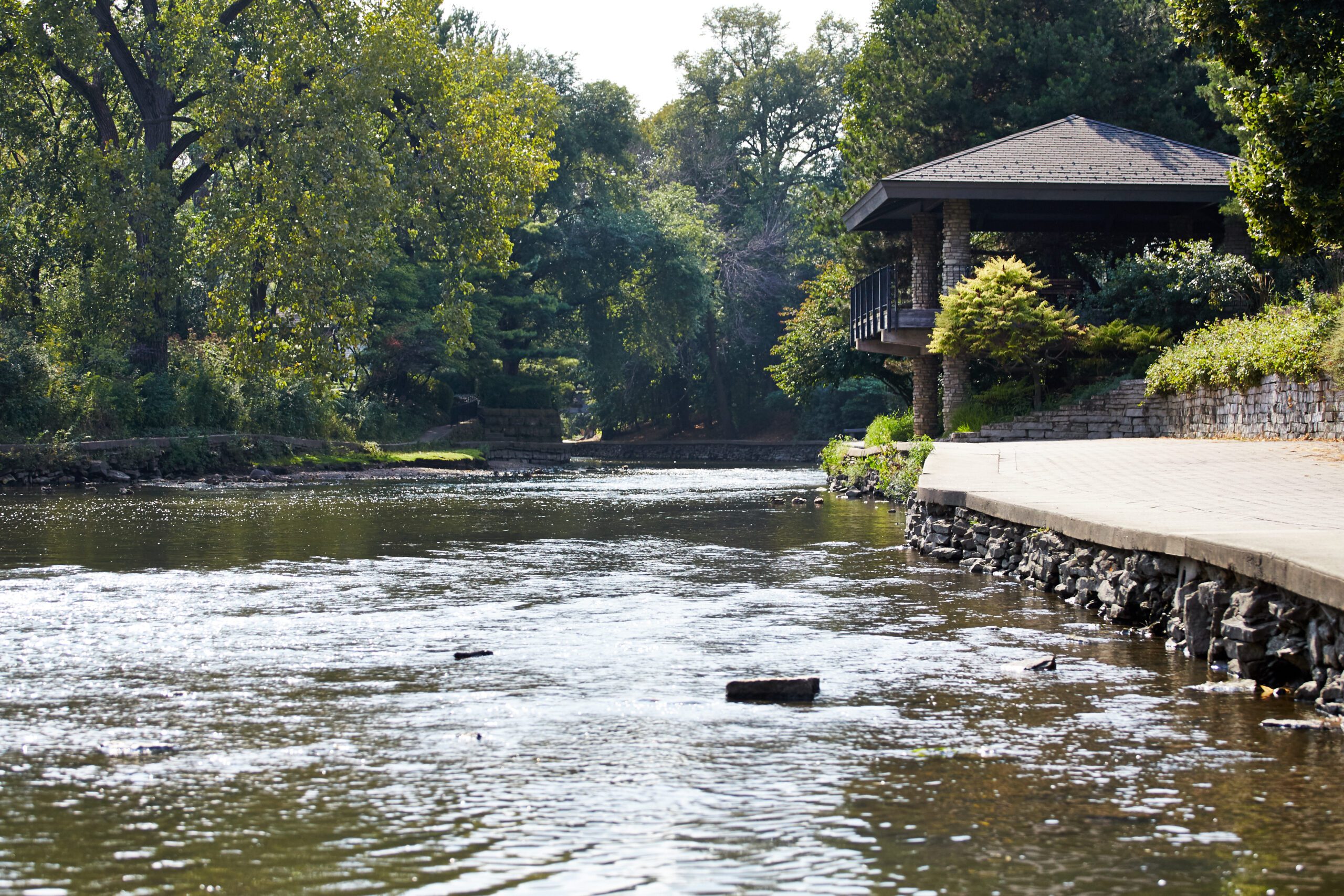
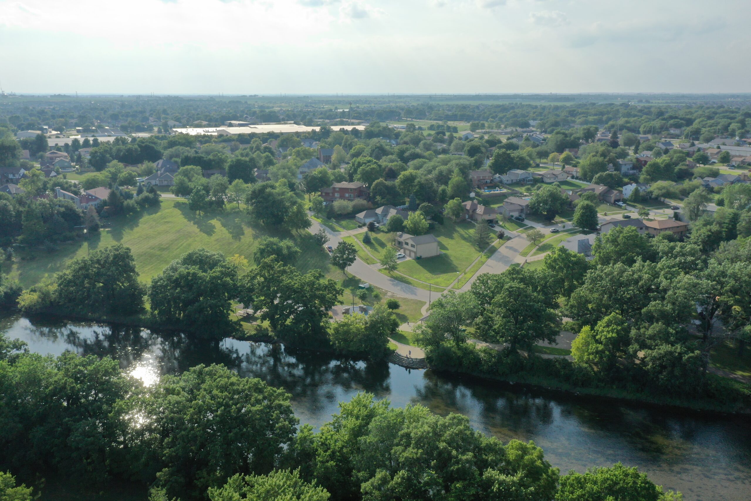
The Lower DuPage River Watershed is formed where the East and West Branches of the DuPage River come together at the south end of Naperville. The mainstem or “Lower DuPage” continues south through Will County and joins the Des Plaines River in Channahon. The entire DuPage River Watershed, including both the East and West Branches, drains approximately 380 square miles, the Lower DuPage accounts for approximately 168 square miles.
Communities in the Lower DuPage River Watershed came together to form the Lower DuPage River Watershed Coalition after a watershed plan was completed in 2011. The Coalition implements a comprehensive Bioassessment Monitoring Program, collecting biological, chemical and habitat data from 42 sites across the watershed on a three-year cycle since 2012. We work very closely with the DuPage River Salt Creek Workgroup on data analysis, modeling efforts, chloride reduction and on the development of a Nutrient Implementation Plan for the whole DuPage River Watershed.
To provide consistent outreach and messaging around water quality related issues, we work collaboratively with the Lower Des Plaines Watershed Group to develop and distribute outreach materials and provide technical trainings.
Where We Work
